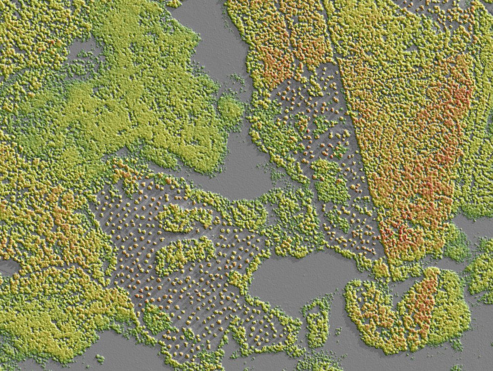
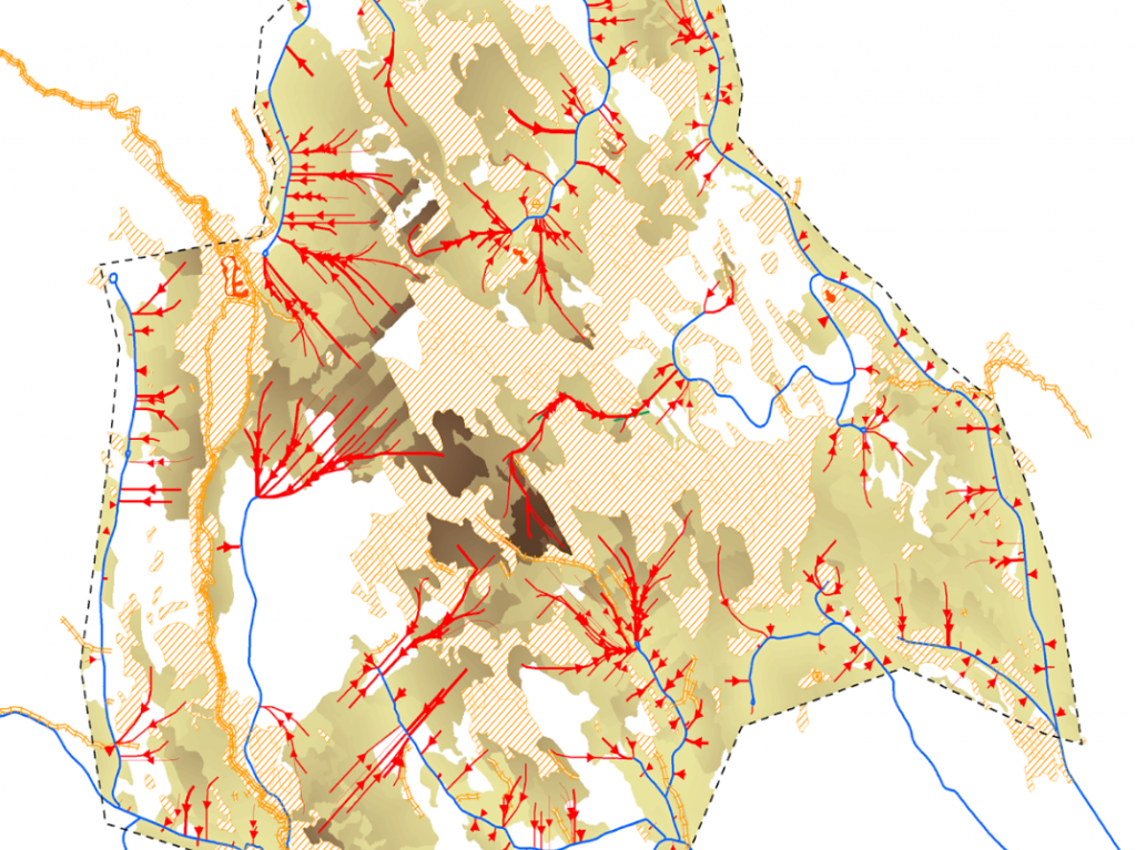
We have mapped all forest land for Sveaskog using Lidar from the Swedish national elevation model. At forest stand level we have mapped forest stem volume, stem height, diameter, basal area and site index. Using the mapping from Dianthus and accompanying software tools, the quality of their forest database has been improved at a fraction of a cost of field inventory.


